Updated on July 10, 2013
Day 25 – Hutchinson to Larned
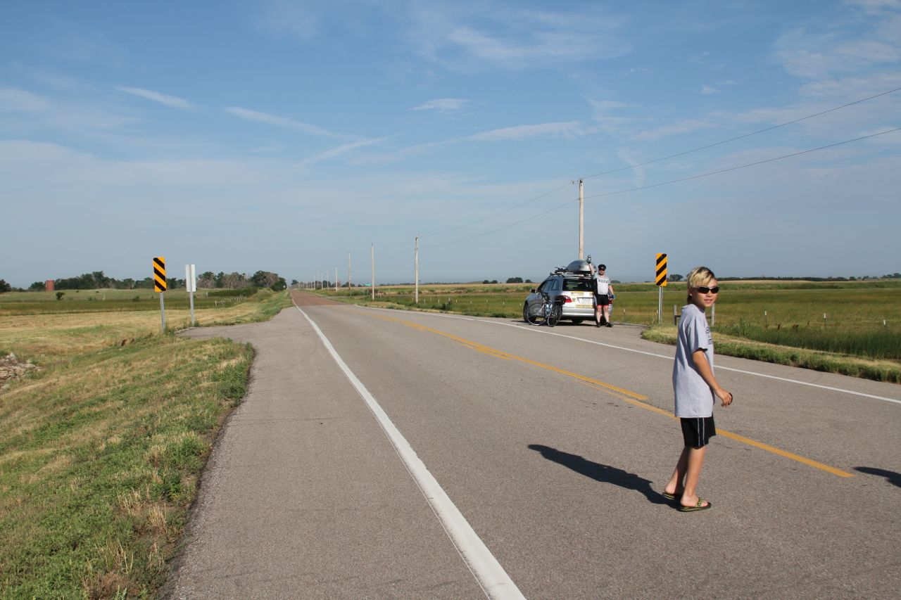
Kansas is a ramp. At the east, it’s barely 700′ above sea level. On the west, it’s 4,000′ feet where it butts up against Colorado. In between, it’s mostly smooth but slowly goes up as you move west. On rides like today, when the vast majority of our ride was due west, you can actually get a sense of how “ramp like” the state is.
JP has found his calling the last few days. That calling is “get up before dawn and hit the road before any sane person would”. He was out the door again this morning before 6am. I’m not a morning person, especially when Heidi, the kids and I share one hotel room. “Getting to bed early” is largely dictated by Dax’s mood. Last night, not so much. I managed to hit the road by 6:30 though.
Even though the morning was relatively cool, I could still feel the effects of the heat from the last few days. My hands and feet were numb early and I ended up buying some advil at a gas station to try to cut down the tingling. About the time the advil kicked in, I hit a really bumpy stretch of road and the whole thing was moot anyway.
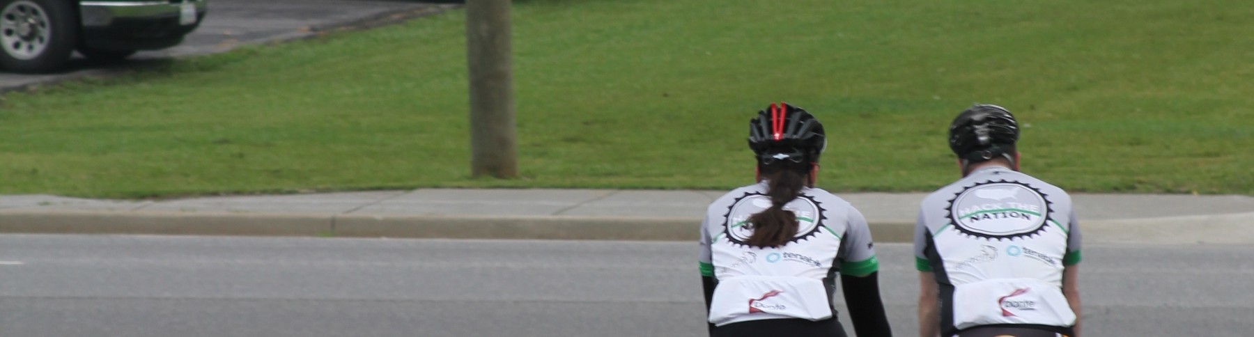
I caught JP somewhere along that bumpy road. Honestly, I had seen him about 40 minutes before I caught him, but like most things in Kansas, just because you can see something doesn’t mean you’re anywhere close to it. JP made great time today and I had to work pretty hard to catch him. About the same time I caught up with him, the MCC caught up with us.
After filling up bottles and grabbing a quick bite, JP and I made good time in the middle of the route. As the wind picked up today it was actually at our back and helped keep our speed up and heart rates down. JP called it a day after 100 km, and I pushed on the last 10 miles to Larned. It turns out that when you leave around 6, even 70 miles is done before noon. Luckily our hotel was ready for us and we all got checked in and showered before lunch.
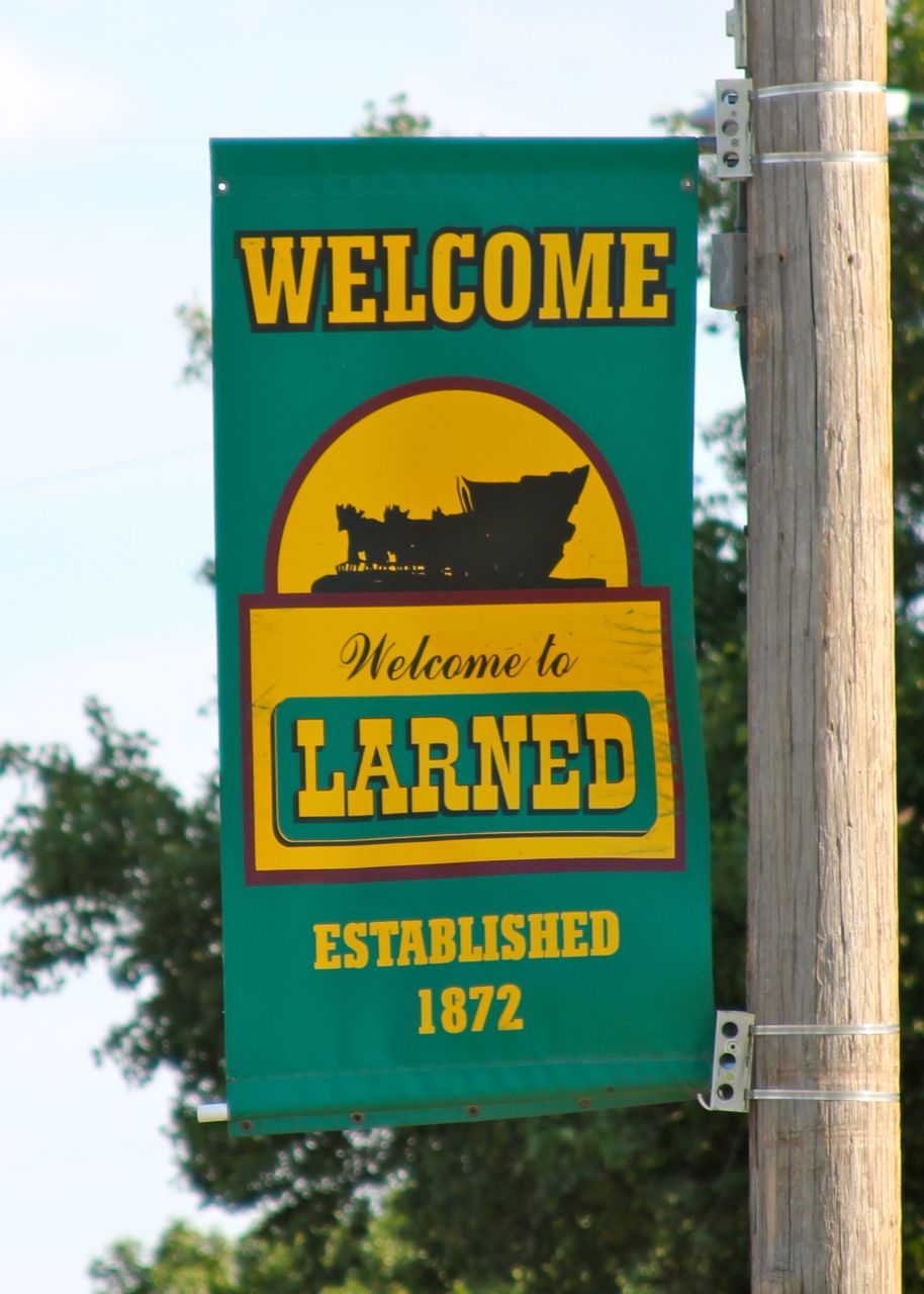
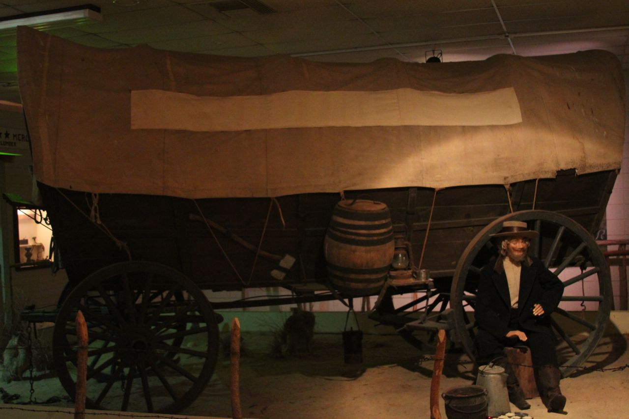
Larned is in the heart of the Sante Fe Trail. Until today, I didn’t know what the Santa Fe Trail was. It’s a trading route that was used in the pioneer days to haul goods to and from the Southwest. There’s a nice museum here that talks about the history of the Trail, the impact on the local economy, and what eventually became of the Trail.
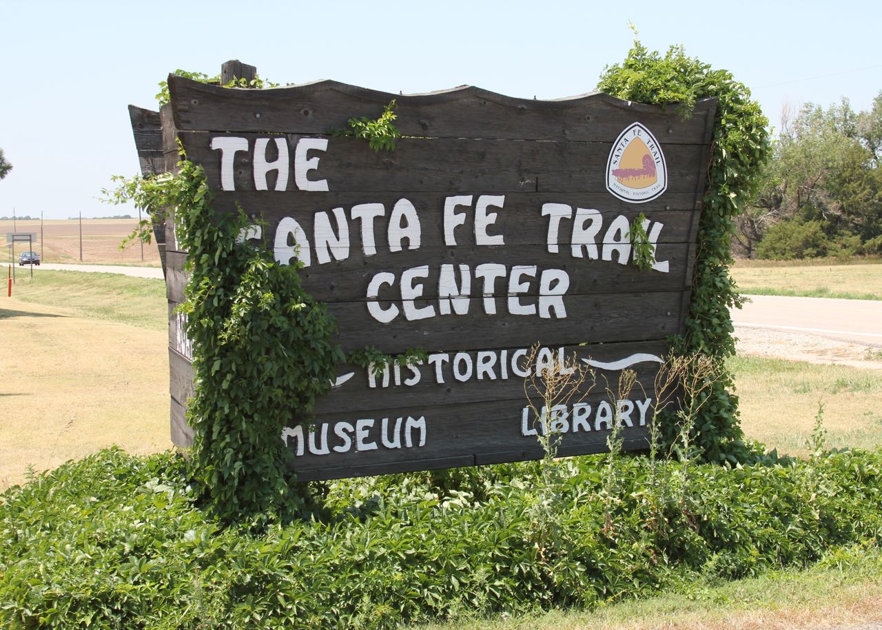
They had quite a number of different wagons and buggies including this cool covered wagon.
Again, these little towns we stop in have ended up having awesome attractions and history for us to check out.
The stop at the museum was timely because we’re in the processing of changing our route to match the Santa Fe Trail for at least the next few days. The Trans America trail is beautiful, but it can get a little “out of the way” at times. For the next stretch up to Pueblo, it basically doesn’t go through a town with a hotel in it. So rather than SAG our way to/from the route each day, Heidi and I researched some other routes and are tacking a bit south to stay in civilization. I’m not sure what that will mean for traffic, but at this point we’re sort of playing things by ear.
We also spent most of the afternoon fixing the route through the Rockies. The TA route mostly makes sense there, but the locations I chose to stop don’t make sense. So we came up with new stop/start points (and took a different route out of Pueblo) and started to make hotel reservations along that section. Some of the nights are proving to be a challenge. I’m hoping we don’t end up in tents. 😉