Updated on June 17, 2013
Day Two – Mechanicsville to Charlottesville
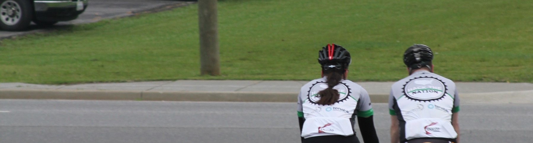
The alternative title to this post is “How to almost ride an accidental double metric century”. When I was creating the route, I used the ACA maps to determine the actual roads we are going to take as well as the distances between points. Apparently when I was doing the math for stage 2 I dropped ~20 miles from the route. It was already going to be long (97 miles) but when I actually went to put the route in to our GPS’s, I realized it was more like 117. Yikes. So, armed with the knowledge that our century had turned in to a double metric, we started our day.
It was raining at the start… We got all decked out in our rain gear after looking at the radar.
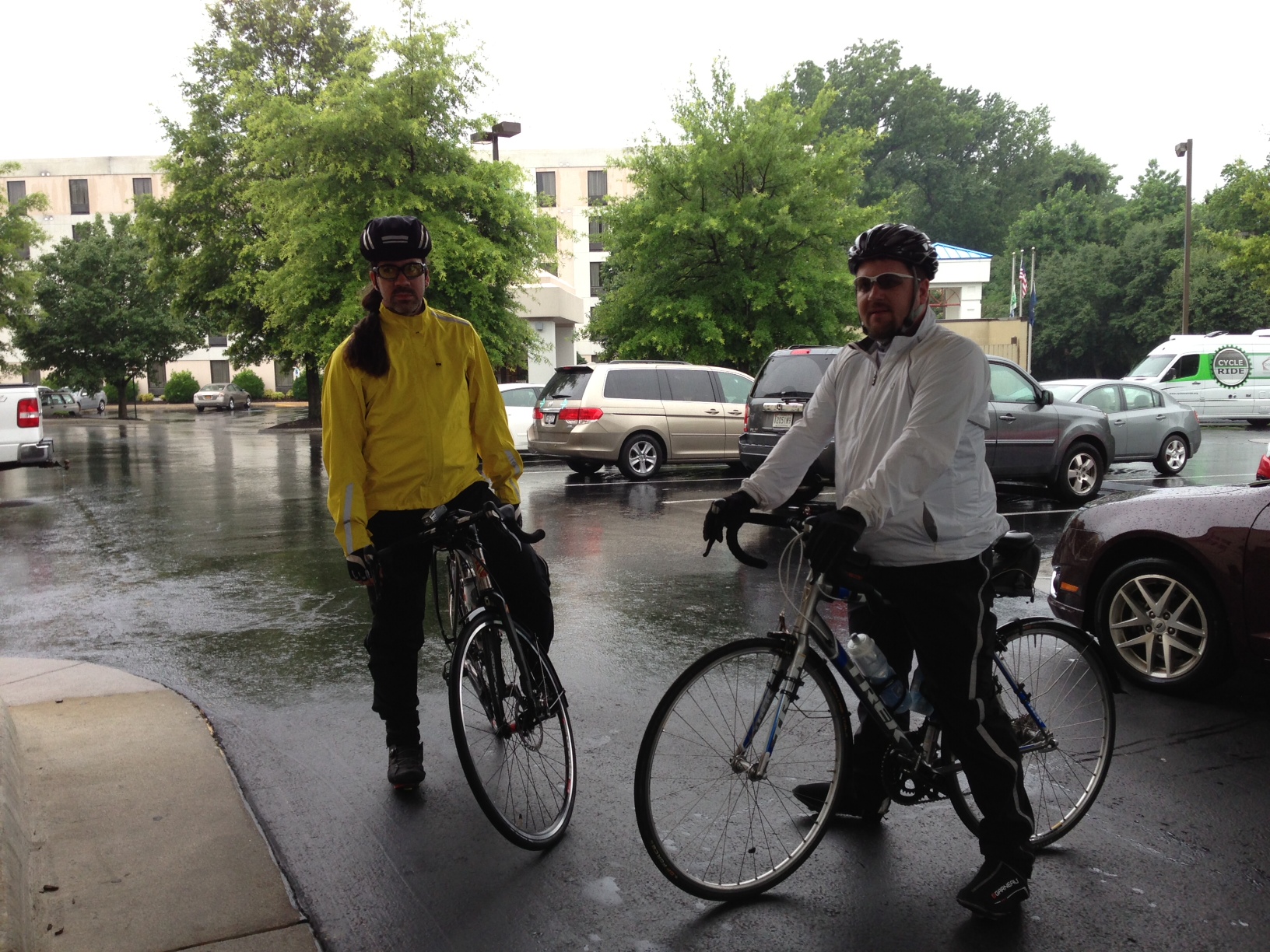
Turns out, we didn’t need it. After about an hour the rain ended and the temps were rising.
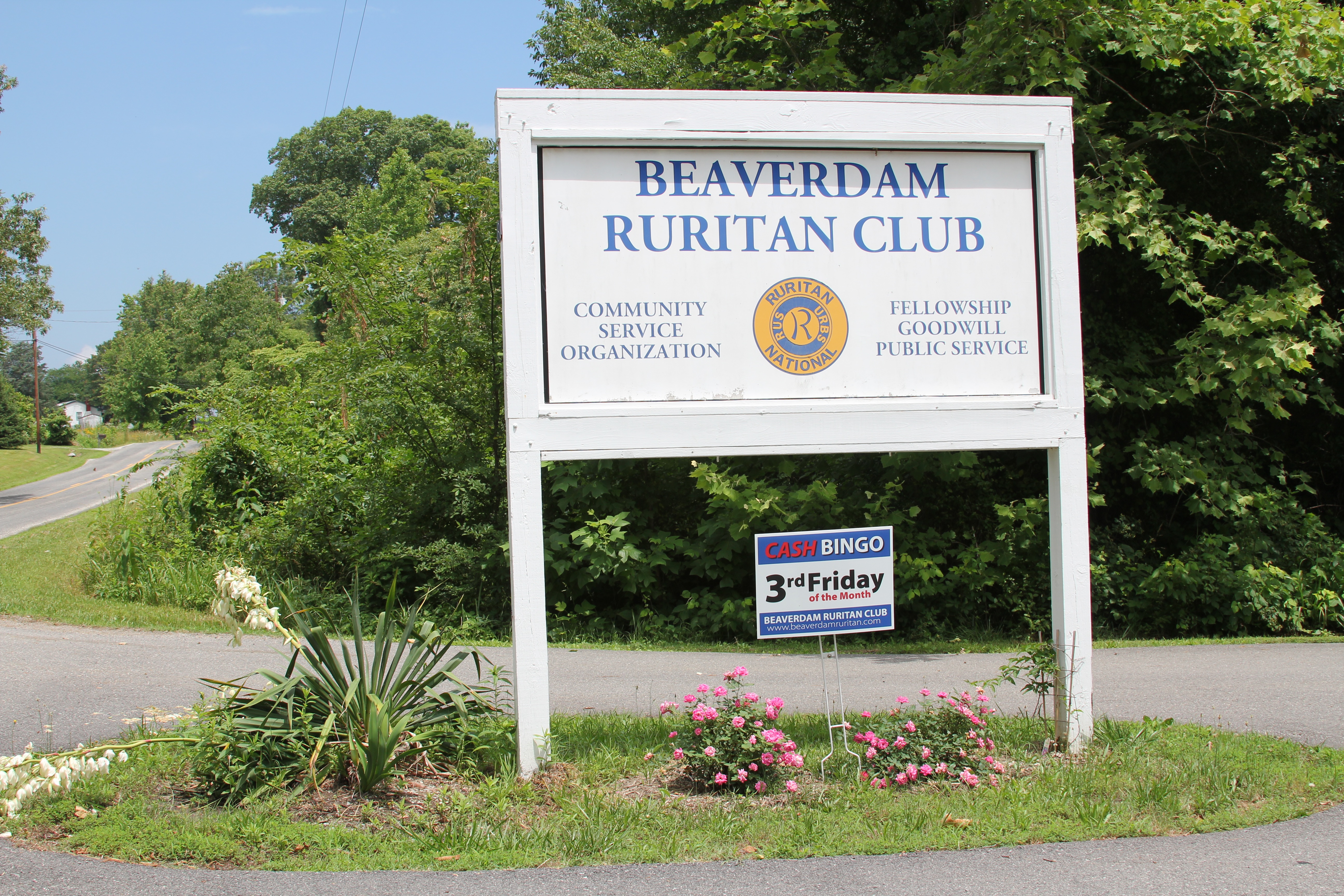
Thanks to the Beaverdam VA Ruritan Club for letting us borrow their parking lot for lunch. As you can see, it was clearly not raining at lunchtime.
Most of the ride looked like this:
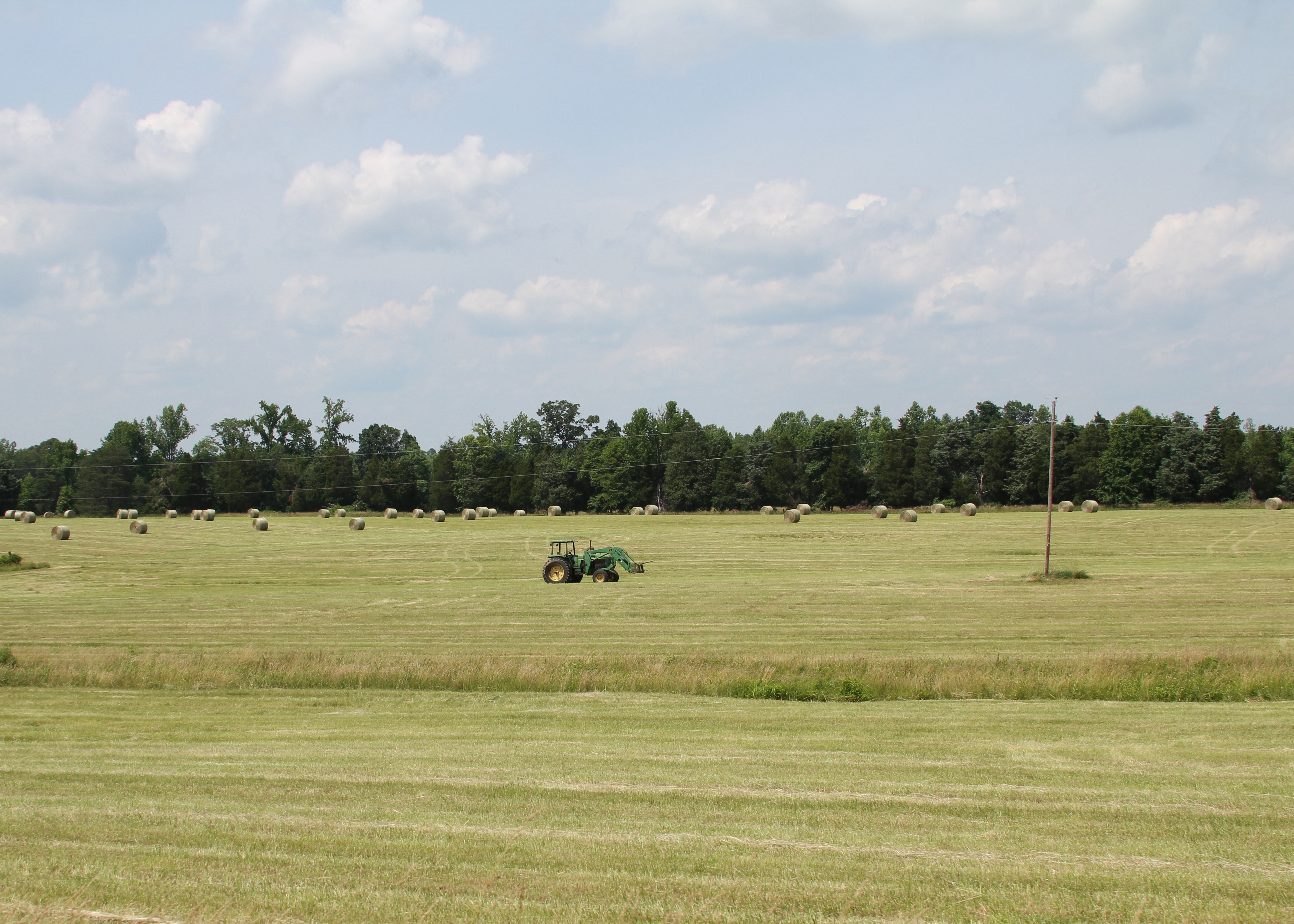
Lots and lots of farmland. Corn, wheat, and some beans. Also, the cicadas had done a number on the trees in this area with lots of dead branch tips where the bugs have laid their eggs. Oh, and I almost hit a turkey at 30mph. I had to duck to avoid it. If I had half a mind, I would have grabbed it for dinner.
The day ended in an epic rainstorm coming in to C-ville. The last of the ride was “completed” in the MCC where we were safe from lightening, wind, and the impressive sideways rain. As JP put it, there was enough lightening that it looked like Castlevania. Crazy.
Tomorrow we climb up into the George Washington National Forest along the Blue Ridge Parkway. It should be a punishing climb. Wish us luck.