Updated on June 21, 2013
Day Six – Rest Day, Still in Wytheville
I know y’all are wondering about our first official rest day. After letting everyone sleep in just a little bit, we ate a quick breakfast and headed up to Big Walker Lookout. Art and JP stayed behind to catch up on laundry but soon headed up to the lookout themselves. As you can see, this thing is crazy tall. If you look real close you can see the boys standing at the top.

The view was spectacular – or so the pictures show. Only Bobby and Terran went up making fun of their chicken parents on their climb. Bruce and I were quite happy to keep our feet on the ground.


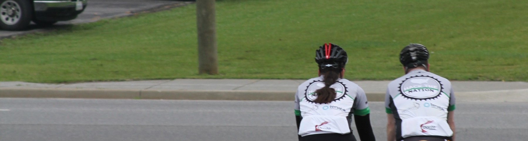
We headed back down the mountain and went for a quick walk around the Chautauqua Festival, grabbed a bite to eat in town and then it was back to the hotel. Bruce and Bobby decided to go for a quick ride with Daxton. Here they are getting ready to pull out of the parking lot. Terran and I took advantage of this time to clean out the RV. Turns out the backroads of Virginia can be a bit dusty.

The parking lot was still empty when they got back so Bruce took advantage and cleaned up his bike. I guess someone stopped by and asked him if he was setting up for some kind of show. No such luck, I’m afraid. When that was done we took the kids to see Monsters University. Fun times. Now we’re all back at the hotel. Bobby got out the video camera and interviewed the crew. We should have a short something for you in a day or two about our first week on the road.

Updated on June 20, 2013
Day Five – Christiansburg to Wytheville
Five days of riding. After some relatively long days the last few, today was a nice break. 50 easy miles through the hills of southwest Virginia.
Another cool, foggy morning for the start. Our hotel wasn’t on the route… in fact it was about 2 miles away via a 4-lane divided highway. So Heidi took JP and I to the start of the day via the MCC. We rolled out from the Christiansburg Library parking lot.

The ride was relatively uneventful. There was definitely a fair bit of climbing with a number of pitches >10%. The scenery was beautiful (again) but definitely more rugged. We got chased by two “silent” dogs which was probably the most exciting thing to happen all day. I read a blog post a few weeks ago where the author categorized loose dogs from least to most dangerous. At one end of the scale were old dogs who mostly just lay in the yard and bark because they really don’t have the energy to give chase. Next are the playful barkers who are generally interested in asserting their dominance of their territory and will give chase but are really just having fun. Then come the puppies. These critters are dangerous because they don’t understand the risks to chasing cyclists… they’ll jump out in front of you and endanger themselves AND you. The most dangerous dogs are the silent ones… these dogs are actually after YOU. They don’t give away tactical advantage by barking; rather they get up to speed in the grass behind you and only really make themselves known when the paws hit the pavement just behind your bike. We had 2 of those today. Luckily we got away (and one of the silent dogs was too small to be a real threat).
Also, the kids are getting marginally better at taking pictures out the window of the MCC. I think the picture below is me (?).

JP and I rolled in to Wytheville around 2pm. The final climb in to town wasn’t as bad as climb into Christiansburg, but it was still an attention getter… mostly because of the heavy truck traffic and ZERO shoulder.

So we’ve got a down day tomorrow here in Wytheville, and I’m not sure we could have timed it better. They’re having a Chautauqua Festival this week with music, performances, and food in the park downtown. For those readers in NY, yes, _that_ Chautauqua. Apparently the institute funded the creation of a park here in Wytheville and helps organize this yearly festival. Tonight was bluegrass night, so Heidi, the boys, and I ate ourselves silly and listened to some great music. The VW Boys (below) were mostly bluegrass with an attempt at comedy. Definitely amusing.

I should note that the festival had “fried kool-aid.”. I’m not sure how exactly you fry koolaid, but after eating some, I’m fairly certain that’s not the way you’re supposed to eat it. It was not good. Art and JP stopped in just as we took off to dunk the kids in the pool for a bit. We were nice and gave them fair warning regarding the strange concoction.
Tomorrow? Classic rock. I think Heidi is going to do up her bangs and get some leg warmers on.
Updated on June 19, 2013
Day Four – Lexington to Christiansburg
I’m not sure we could have asked for a nicer day for riding. Cool and foggy in the morning, mid 70’s and partially overcast in the afternoon. Wow. Doesn’t get much better for enjoying western Virginia scenery. I’ve only driven through this part of VA on I-81 and never really thought much of it. Turns out, it’s beautiful country. Hilly as all get out, but beautiful.
Once again, Heidi was able to score a hotel right on the route, so we we rolled out at (basically) 8am sharp. JP was tougher than I; he was in a jersey and shorts. I threw in arm warmers and a vest. Even then I was a bit chilly on some of the early downhills.

In the morning, Heidi and the boys went to a private zoo near Natural Bridge. It was a unique experience… very different than (say) the national zoo in DC. They saw some neat critters including flamingos, various big cats, and giraffes. A baby tiger stalked Dax from inside its pen. Heidi said it was cute… I think it’s odd to view Dax as prey to a big cat 😉 They were also able to feed a giraffe. Photo provided without comment.

JP was in pretty rough shape today after his epic ride up the Blue Ridge Parkway yesterday. He gave it the college try (I mean, he was all decked out in RIT gear), but he ended up jumping in a SAG wagon around lunchtime. We all had lunch at a BK in a gas station in Buchanan VA. I tell ya, there’s nothing like a whopper for a mid-ride meal.
As the day wore on, the hills got steeper. The 16 mile stretch in to Catawba VA was actually pretty tough. No single climb was difficult, but there were a TON of short, steep climbs with short, steep descents. Also, today I realized that roads that have “hill”, “gap”, “hollow”, or “mountain” in their name are bad. Roads with “river”, “creek”, or “mill” tend to be much nicer.

The final climb in to Christiansburg was a doozy. Long, variable pitch, and no shoulder. Hitting a climb like that at 90 miles in to a ride was a bit unfair. But I made it in to town just before yet another severe thunderstorm rolled through. I imagine these storms will be a trend this summer.
Updated on June 18, 2013
Day Three – Charlottesville to Lexington (up and over the Blue Ridge)
Ok. First of all, to all the Charlottesville weather forecasters who said “widely scattered showers with peeks of sunshine”… Bite me. It rained today. All day. Sometimes it was a sprinkle, sometimes it approached downpour status. Regardless of how you slice it, the radar showed a system the size of the entire state of Virginia rolling in. “Widely scattered” my butt.
Now that that’s out of my system… today was actually a very enjoyable ride. Even with the rain, the Blue Ridge Parkway is incredibly scenic. The morning started out in downtown C-ville. Heidi and the kids were going to hit some historic outpost in Stauton but the weather changed their plans. So we all rolled out of town a bit after 9. Before we rolled out, Heidi got creative with the camera. The disc brakes look lovely in the morning light.

JP and I proceeded to get lost in the first 2 miles. We had been following VA Bike Rt 76 for most of the trip, but just outside of town it diverged from the ACA TA route. After a 2 mile detour, we were back on track.
Heidi and the kids went ahead to setup lunch. After a quick stop at the Rockfish Gap Visitors center and a refuel, they sat in the MCC in the rain and waited.. and waited.. and waited… Heidi continued to play with the camera. Note: in an RV, all exits have to be labeled as “exits” since it’s technically a house. This is the exit sign on our back door.

The hills started hitting fast and furious about 20 miles in. The second major climb took us right to the entrance of the park where Heidi, Art, and the kids were waiting. Art had to go down the hill and snag JP as the top of that climb was pretty brutal with a bunch of the dreaded right hand switchbacks (the inside of the right lane is the steepest on those). Here’s me cruising in for lunch.

Once in the park it was foggy. Like seriously. I put on all the lights I had so I could be seen. To add extra excitement, the wind was really hammering on the peaks. The climbs in the park weren’t steep, but they were definitely _long_.

At times the fog broke and we had some pretty amazing views.


About 18 miles into the park, I ran out of water. I got a text from Heidi asking where I was. Checking the GPS, my next “turn” was 4 miles ahead. I assumed that was my exit from the park and I’d be able to get water then so I texted her I’d be making the turn in 4 miles.
WRONG! I had another 10 miles to go, and most was uphill. Once I realized my mistake, I tried to text Heidi to get her to come meet me with water. No cell service. Tried to resend the message. No joy. This went on for an hour while I continued to climb. Seriously, I was spent and got hyper focused on getting liquid in me. I finally got in touch with Heidi and she turned around to meet me. We literally met at the top of the very last climb before leaving the park. I spent about 20 mins in the MCC getting my feet back under me. Good times.
JP and I had split up after lunch. He started out about where he left off and began his climb in to the park. He made it most of the way through the park and put on over 5k of climbing for the day. Definitely his largest day climbing ever and a hell of a job working through the forest.
The last 25 miles is basically all down hill, including a 3 mile serious descent in to Vesuvius. I had to stop twice because I was afraid my brakes were overheating. When the rain hit the discs, steam shot off the rotors. Yeah, they were warm.
Anyhoo, that’s the day. 2 more days until our rest day. I can’t wait. 🙂